


Zakhyntos land Excursions: The southwest of the island
25/06/2013
 We start this trip in the western part of the bay in southern Zakhyntos, Laganas. From the beach of Laganas to the west we can see the islet of Ay Sostis and Marathonissi Island.
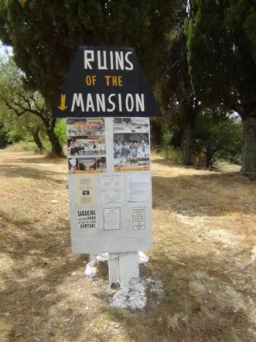
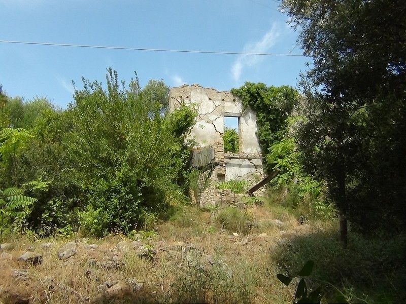
A few kilometers inland to the northwest there are the ruins of the mansion the Archduke drew in Sarakina. There are signs indicating the place where the mansion is located, but it is locked up tight and cannot be viewed. From the outside we see some of the walls in ruins.
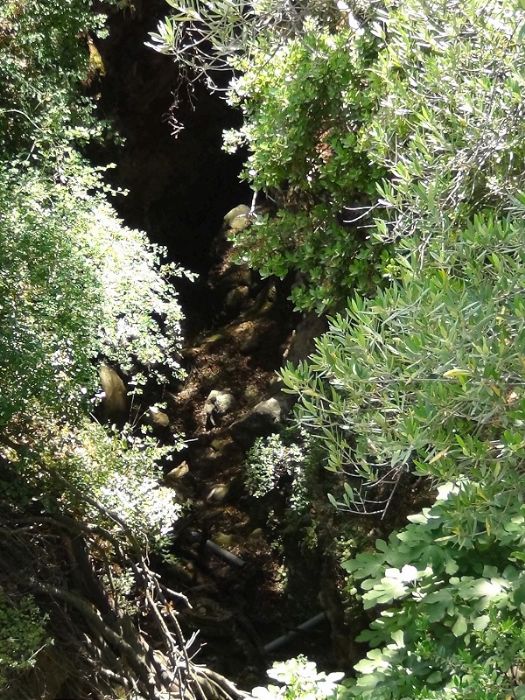
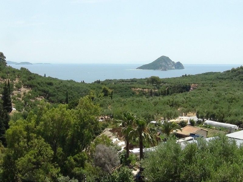
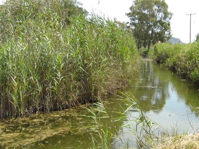
We turn now to Kerí and after several miles we came across a bridge, under which flows the Avyssos, which is a deep ravine as the Archduke drew. A little further forward we have the view that aligns the ravine that forms the Avyssos and Marathonissi Island.
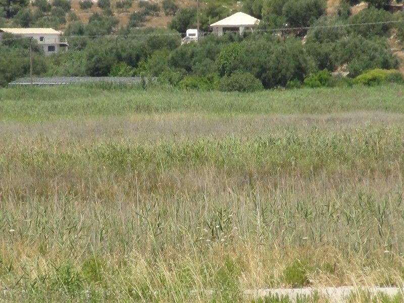
 When we reach the Kerí beach area we can see some parts of the lake that are kept moist. We see that a large area is dry right now, in the month of June, such extension arrives to the beach.
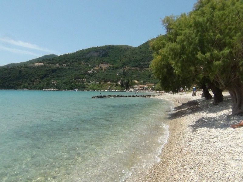
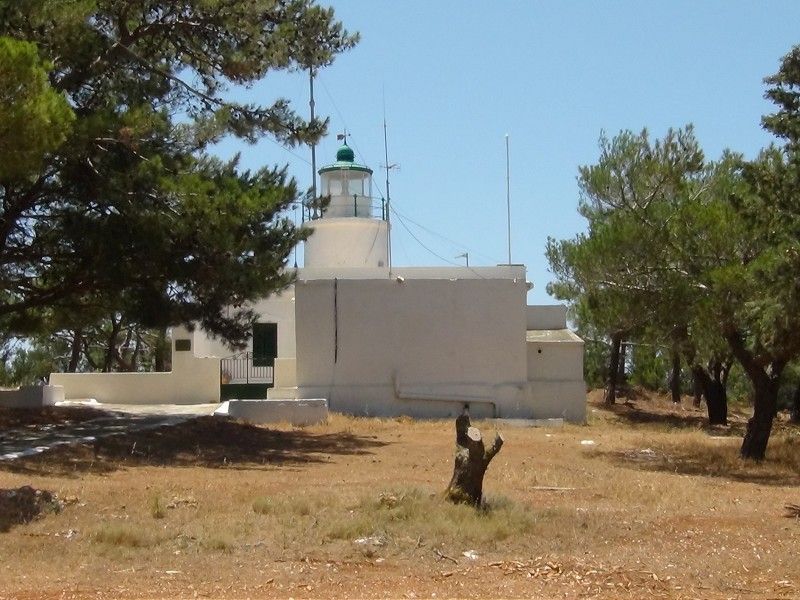
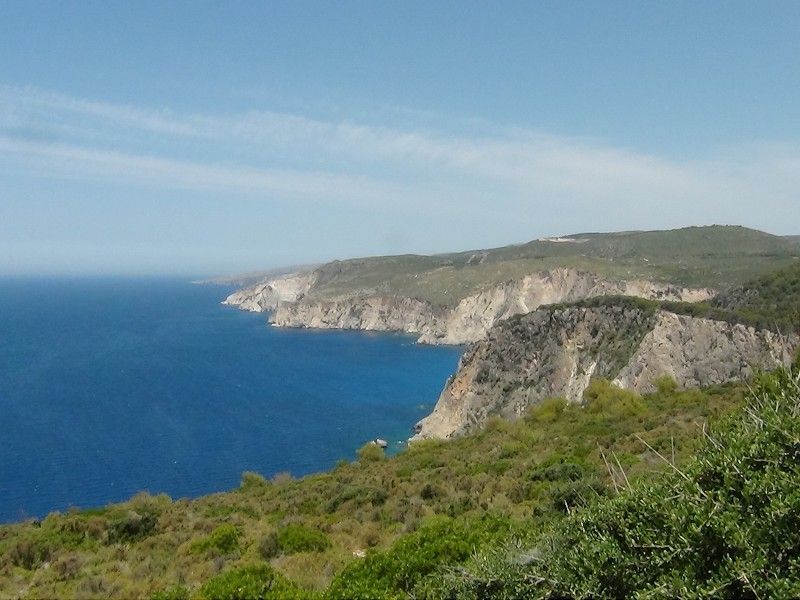
 From the village of Kerí you have a magnificent view to the cape. The road actually leads to the Kerí lighthouse which stands just beyond the cape. From there we have a nice view towards the northern part of the west coast to the Limnionas zone.
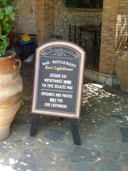
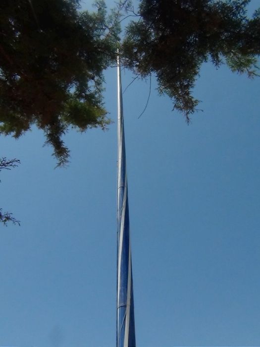
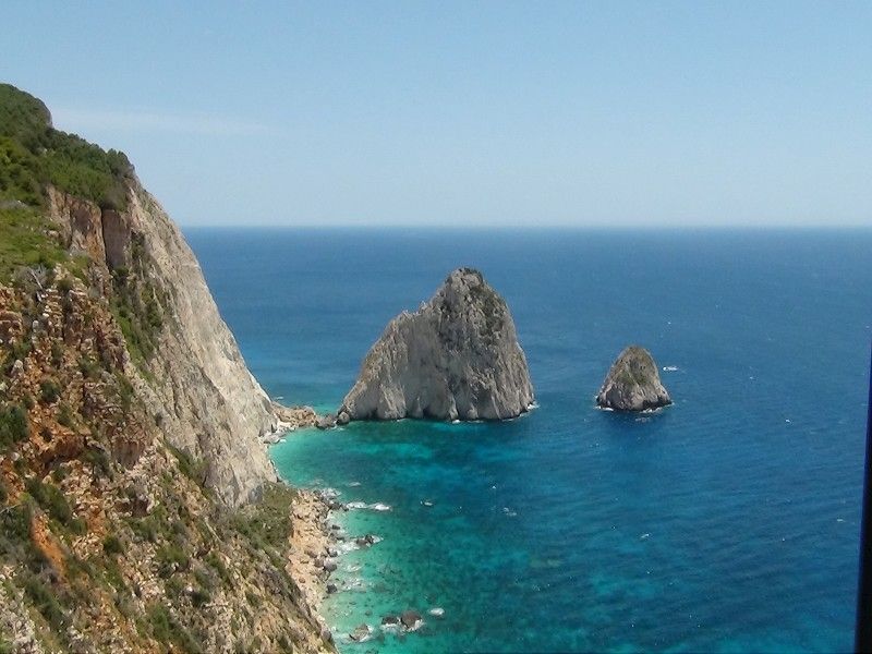 In the area of the lighthouse there is a restaurant located on the same cliff that literally monopolized the view over the Mysithres. While entering we realize that in this restaurant is the flag of Greece we had seen from the sea. This is a 760 square meter flag which stands to a 50 meters pole.
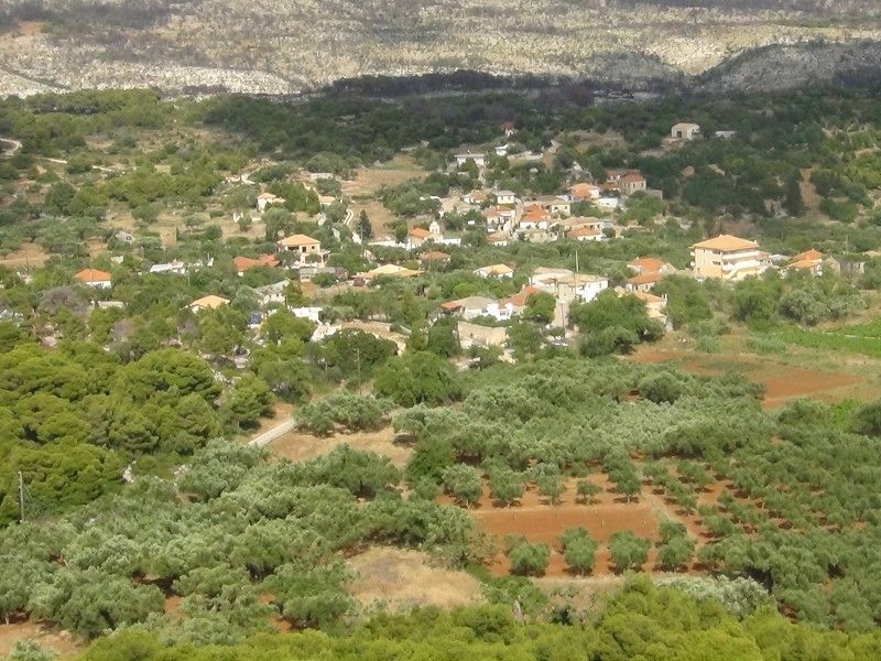
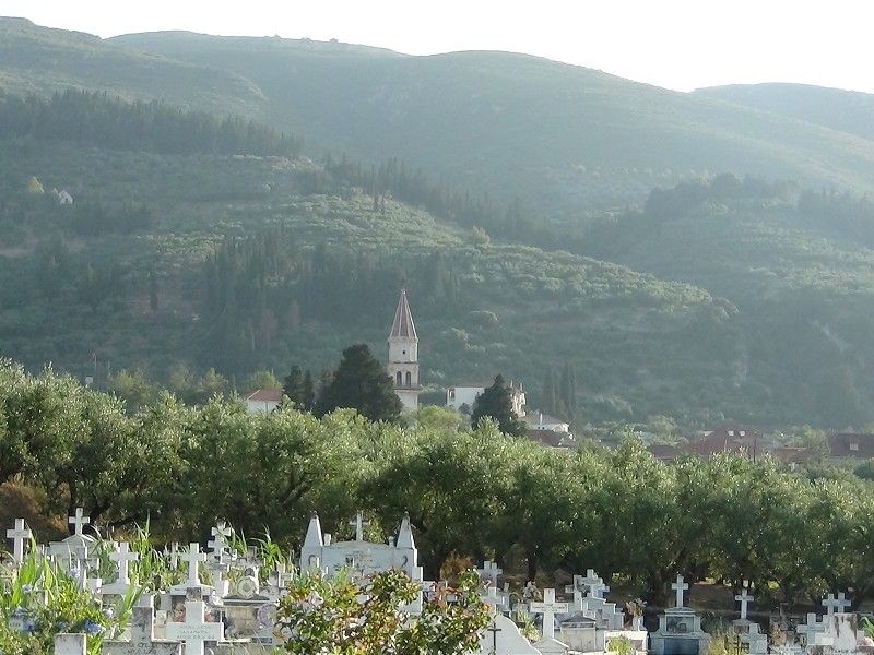
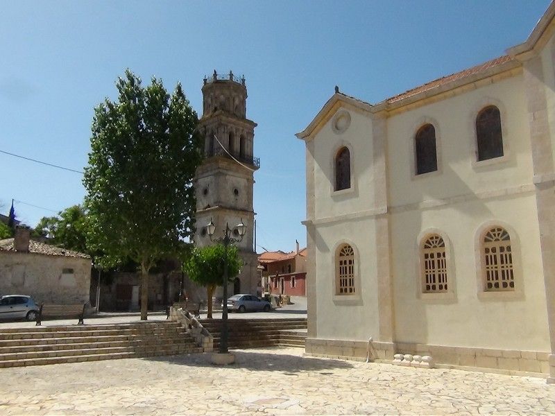 We went north through Kiliomeno. There we can see the bell tower that existed at the time of the Archduke and a new church that has been built just opposite.
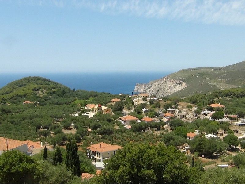
We arrived to Kampi, intending to approach Schiza cliffs. From there we can see the northwest coast to the area where is located Steniti Bay. A little further we also observe the large cross that we had also seen from the sea.
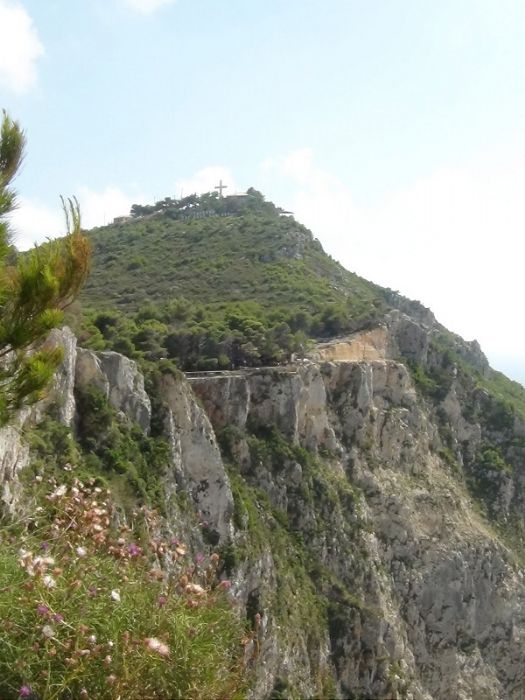
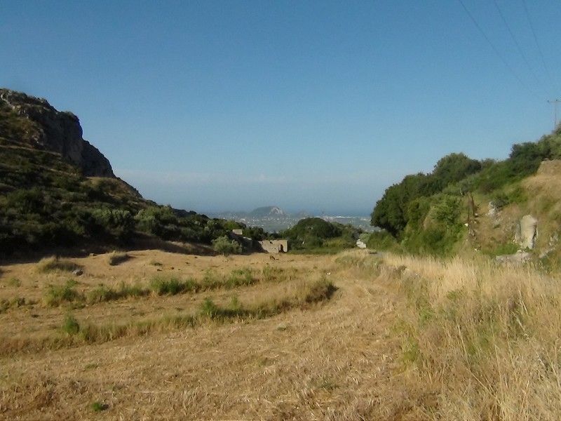
We reached the area of the cross on which are also several restaurants offering the best sunset view of Zakhyntos. From the area of the cross we can see the valley in which is located Kampi. We decided to take a dirt road and we entered into the valley that runs south from Kampi. From the way we managed to see to Limnionas area now looking south...

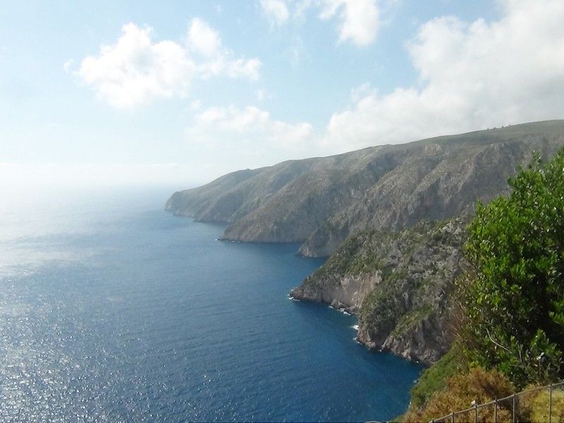
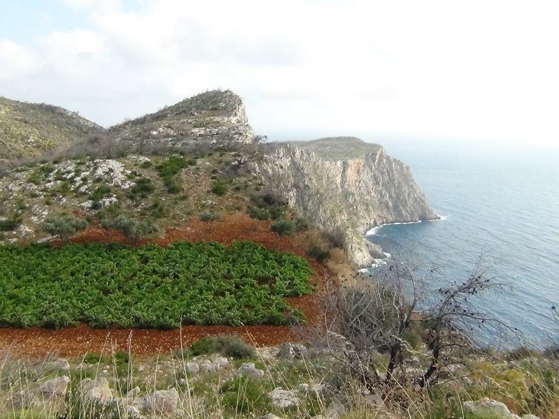 We're approaching the Ambelia area and finally to the sea. We see here the southern part of Ambelia area with the vineyards that are situated virtually on the shores of the cliff.
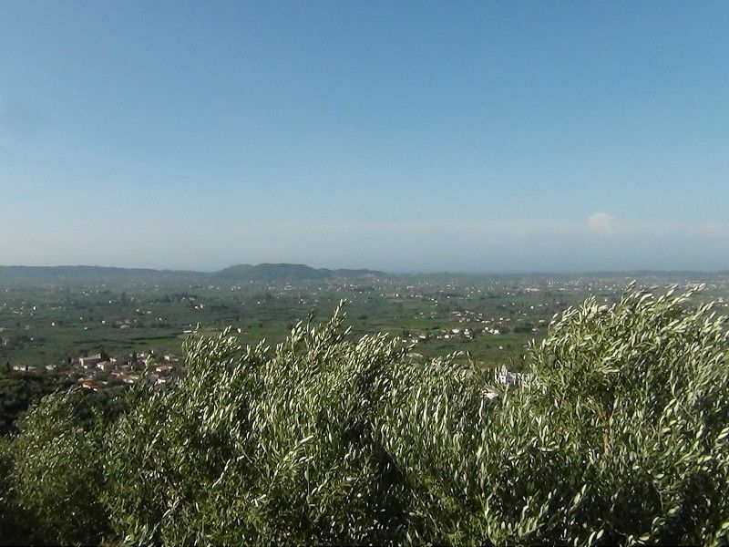
Then we return to Kiliomeno and began the descent towards Macherado. From the valley that leads to Macherado we have beautiful views to the north of the island, which will be our next target.
 Finally we take a Macherado picture with the church bell tower and all the northwest mountains of the island at the back.
So far this adventure through the southwest and west of the island of Zakhyntos. Will be back soon with another blog dedicated to the north of the island.


