


Porto Gaios. Port and city

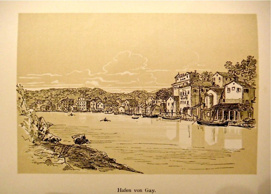
“Gaios or Porto Gaios is named after Saint Gaius who apparently died here alongside Kripus. It is the main village on Paxos and is the seat of the local government and attracts the greatest trade on the island. It’s located on the flat coast to the east of the port with the same name.
The port is shaped like a crescent moon due to Saint Nicolo ( Nicolaos) island and it has a paved dock. Though there are only a few houses, it offers a pleasant image and seems larger than it truly is with the row of houses towards the port. There is a main road in the town running parallel to the dock. In the middle it joins with the main road which comes from solid land, forming a piazza.
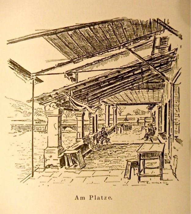
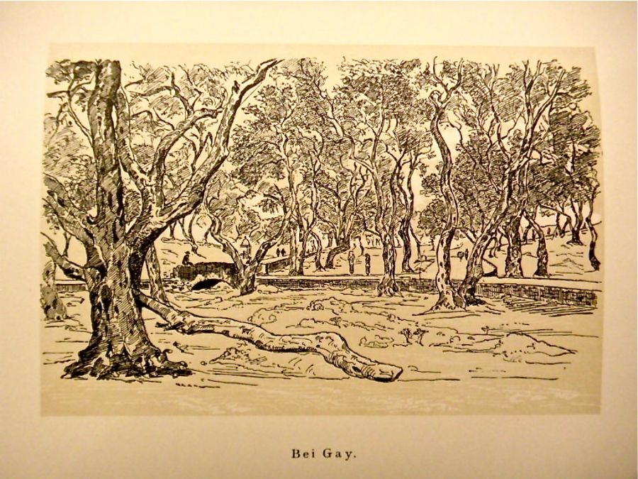 The plaza is fairly large and unpaved. In the middle is the Agia Analifsi Church. To the right facing the port is a series of taverns and cafés with fairly simple wooden roofs and a support of wooden columns. The roofs join to porches with similar columns to those of the first cafeteria, forming a type of covered hall. People tend to gather underneath, including fishermen who sit to make or mend their nets.
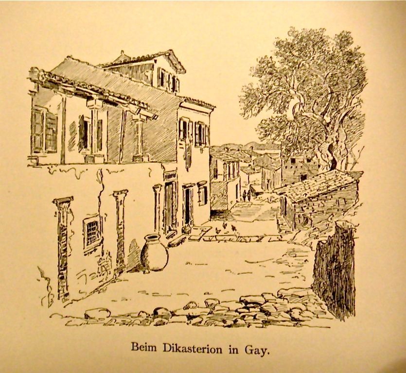 The home of the mayor, Alexander Bogdanos, has a small garden in front. Behind is the simple dikasterion [= court] with a four-columned entrance. Here, some houses have an embedded entry arch, and the windows on the ground floor are in keeping with the Albanian tradition.
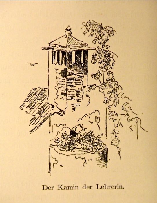 The school for girls is on the southern point of the dock, and, as mentioned, the last house on this side of the town. The school has only one small room where the girls come together, and a small apartment and kitchen for the young teacher. The stairs are made of wood, and a broken wooden balcony faces the sea.”
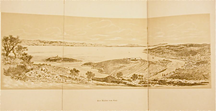
The most important thing about Gaios is its port which merits a special description. For small boats it is phenomenal and protected against all winds. Its great advantage is its openings on both sides. This means that its water is constantly refreshed, leaving it clean and fresh.
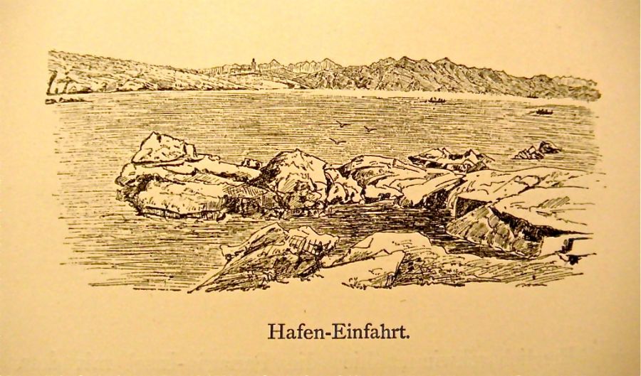
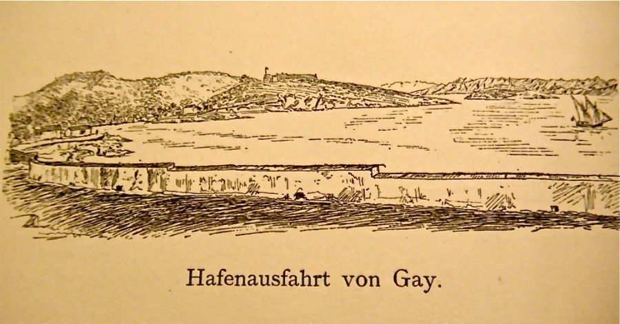
.JPG) The northern part of the port is the best for boats; the southern part is much flatter and can only be used by smaller vessels. The entire northern part of the port is called Manesko.
The northern part of the port is the best for boats; the southern part is much flatter and can only be used by smaller vessels. The entire northern part of the port is called Manesko.
If we leave from the port’s jetty called Sti Barataria, we come to the shore of Manesko with heavily sloped rocks and wild fig trees. This area is called Sti Sikia. The port shore to the right on Agios Nikolaos Island is where the small cape, Stu Katregari, can be found. It’s to the left of the true jetty, Stu Mandra, with the small Karakazzan outcropping.
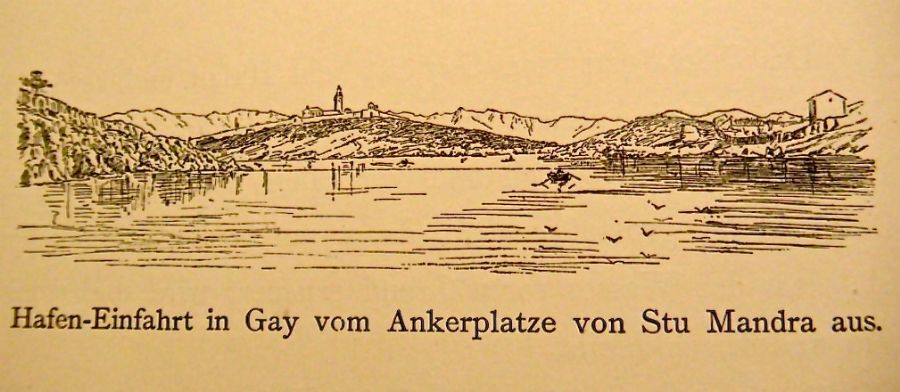
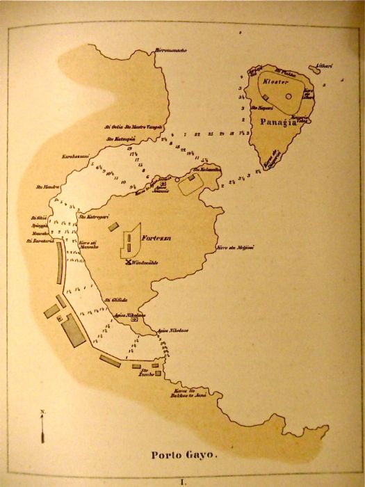
To the right is the small Agios Ioannis Church with the guard tower and small house, guardiola, followed by the wall of Pervolje Stu Papa garden and Sto Kamini limestone quarry. To the left is Sti Kutsupia Bay, followed by Sto Oelia and Sto Mastro Vangeli points. Meanwhile, to the right are Kavos Ston and Agio Ioannis, both of which are at the northern entry into the port.
Photos


.JPG)


