


Southern end II
Comparisson reports are under license of:

Lo que dice el Arxiduc:
“Somewhat below the highest point of the southern side, where the round hillock begins, you can see one of the islands’ wildest views: sharply excavated rocks composed of impure greyish- yellow limestone, mixed in with tufaceous basaltic material (lapilli, augite). Following a plank located a bit further down, it is possible to go down to where the moon trefoils grow.
The highest part of the hill, the main promontory, consists of protruding layers of flattened strata of tuff and lapilli. There you will find large prickly pear plants, belonging to some very thorny species, as well as a large amount of sea-blite.
 From there, looking over a patch of prickly pear, you can enjoy a beautiful view of La Ferrera and the neighbouring islets.
The slope, located at the base of the black cliff, forms a small cape (known as Channel Cape), which faces a small reef that almost reaches the surface of the water. Between this cape and the main floating dock, you can see, on the seafloor, two large, white table-shaped rocks that shimmer under the water.”
Urios, G., Nachtwey, J., Translation, Columbretes, 1895, Castellón City Council, 1990.
Datos proyecto Nixe III:
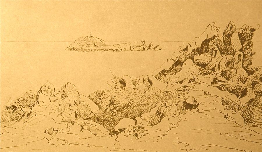
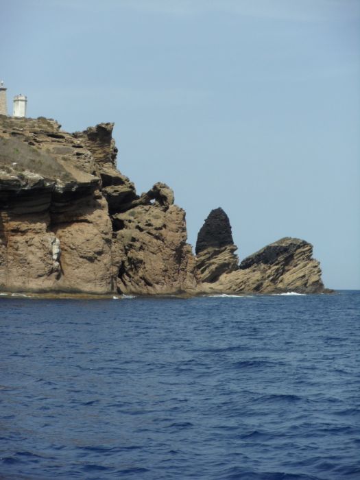 From the sea, the southern end also offers some abrupt rock formations, and we can begin to see both Mascarat and Senyoreta.
As described by the Archduke, within the cove in Puerto Tofiño, there are some dangerous reefs between the southern end of the island and inside the cove. The park staff refer to these as trenca timons (“bow-breakers”).
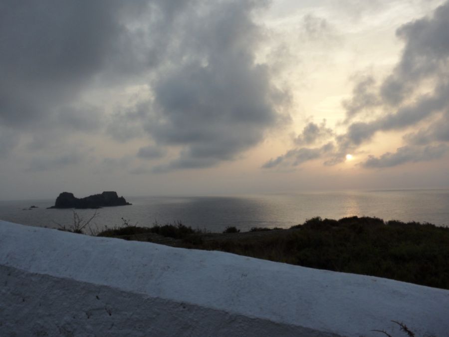 The views of the other islands are spectacular. Heading back with the sunset we see Ferrera.
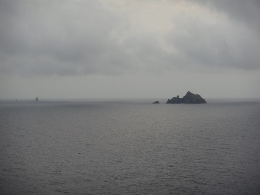
We can also see Foradada and Carallot in the background.
Photos
Comparisson reports are under license of:


