


Cliff path
Comparisson reports are under license of:

Lo que dice el Arxiduc:
“From a place near the central hollow, a dreadful path leads to the outer side of the island—with the seashore located at the bottom of the wild cliffs—and then through a crevice with a few steps carved out of the rock. From there, you can enjoy the untamed view of the northern cliffs, with falcons circling overhead.
You can follow this path along the shore until you reach the lower end of the great crevice located at the base of the weather station, where the lighthouse keepers occasionally go to fish.”
Urios, G., Nachtwey, J., Translation, Columbretes, 1895, Castellón City Council, 1990.
Datos proyecto Nixe III:
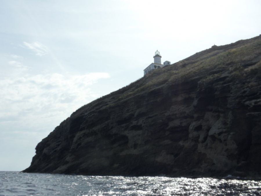 The most abrupt part of the island is effectively on the north end. In the picture we can see the sharp cliffs which drop down to the sea. The water is very deep just a few metres from the shore.
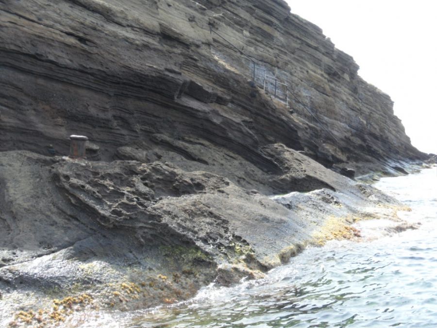 Carrying along the north cliff, we soon reach the EscaladelRossípath which hadn’t been documented during the Archduke’s days. Today, it is used even more than the Escala de España route.
Photos
Comparisson reports are under license of:


