


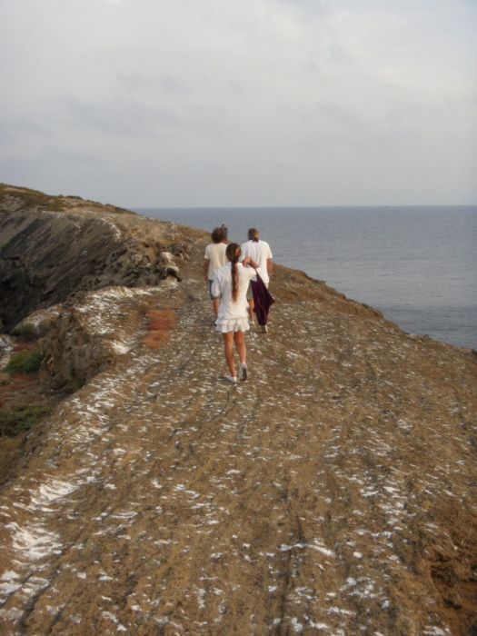
Towards the south
Comparisson reports are under license of:

Lo que dice el Arxiduc:
“Further toward the south, however, you will find a completely earth-coloured patch of land that is perfect for growing crops, and then the cemetery—with its four crosses—where a large amount of grass grows.
After a certain distance, a path carved out of the rock leads down to the harbour, and a few of its steps have already been quite worn away by erosion. By following this path, you reach a place located on top of the cave, whose opening looks like a rectangular door.
The path ends abruptly, without reaching the sea, because it was on these smooth, flat rocks that materials were unloaded.”
Urios, G., Nachtwey, J., Translation, Columbretes, 1895, Castellón City Council, 1990.
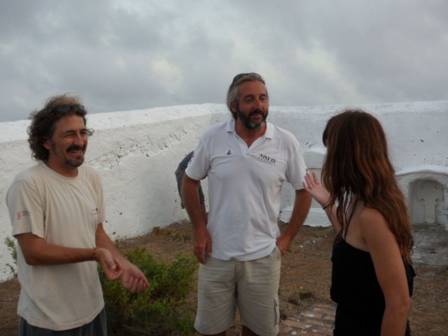
Datos proyecto Nixe III:
 From the barracks we can descend over the crater’s slopes to the south. You can reach both the Escala del Rossí and the Escala de España paths from here.
 We reach the small cemetery where we can see a few graves, including those of lighthouse keeper family members and even that of one Nature Reserve team member, Capi, who created the ants decorating the barracks and is well-known in nearby Benicássim.
The slope down to the port has been adapted to raise small boats onto shore with a crane to protect them from dangerous waves.
Similarly, a small landing dock was reformed not that long ago. Previously, it only consisted of a few steps carved into the stone. A metallic structure was added though its results have been ephemeral given the insistent nature of the sea.
Photos
Comparisson reports are under license of:


