


Southern End I
Comparisson reports are under license of:

Lo que dice el Arxiduc:
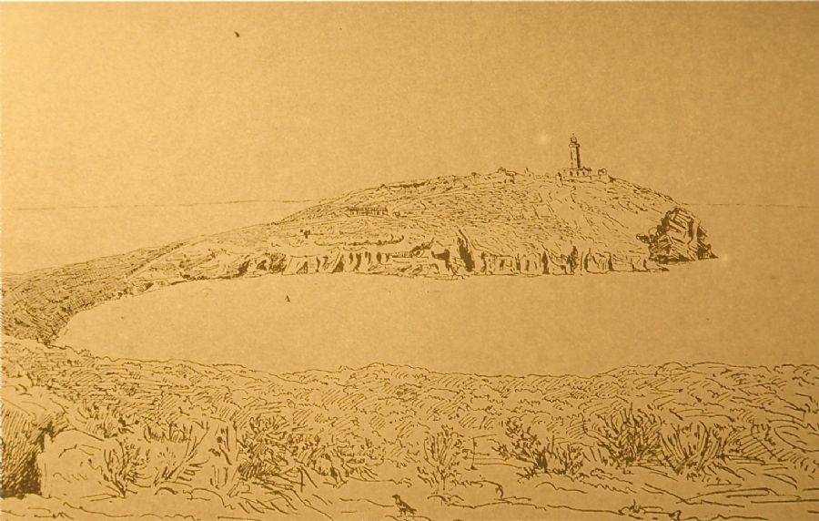 “The highest part of the southern side offers a marvellous view of the entire island, with the funnel-shaped harbour, the prominent lighthouse in the distance, the sheer outline of the Spanish coast, La Señoreta and El Mascarat to the south, and the sheer cliffs below. Further away, you can see the groups of La Foradada and La Ferrera, and beyond that, El Bergantín and the islet Churruca.
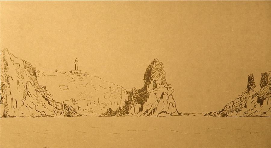 From the southern tip of the island, atop the cliffs that jut out like teeth, you can see scoriaceous, carbonaceous skerries; there is also a good view toward El Mascarat, with its needle-like rock, as well as La Señoreta and El Mancolibre.
Through a crevice in the cliff, facing the main summit, you can see an attractive view of the cliff and of El Bergantín, in the distance, with its neighbouring skerries. In this area, there are a few thorny asparagus plants.”
Urios, G., Nachtwey, J., Translation, Columbretes, 1895, Castellón City Council, 1990.
Datos proyecto Nixe III:
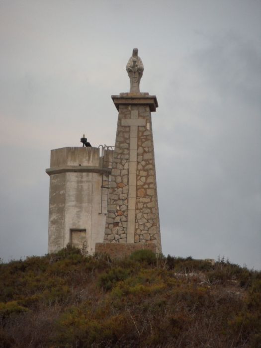 We finally reach the extreme southern point in which a marker stands out, though, sailors beware, it’s upside down. In this same spot we find the statue of the Virgen del Carmen, the patron saint of fishermen. The locals also refer to this statue as La Cagadeta, literally “the shat upon”, due to the quantity of bird droppings covering her.
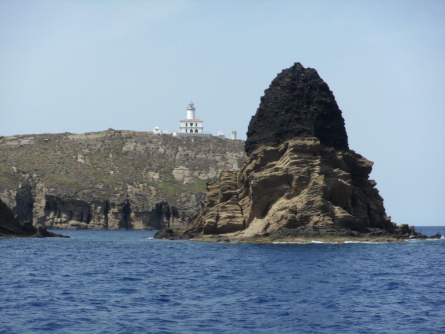
From this part of the island, the view of the lighthouse is spectacular. In the middle of the bay we can see the expedition ship.

If we reach the island from the south, for example, from Carallot or Foradada, we can see Mascarat and the lighthouse in the distance.
Photos
Comparisson reports are under license of:


